

Vigilant FLS and SPRINT-Nav provide the situational awareness and navigation accuracy required by autonomous uncrewed surface vessels operating in GNSS denied environments.
Overcoming GNSS Denial in Tactical USV Operations
In contested maritime environments, the most dangerous threat to an Unmanned Surface Vessel (USV) is not a visible hazard or a surface target. It is what the ship is tricked into believing.
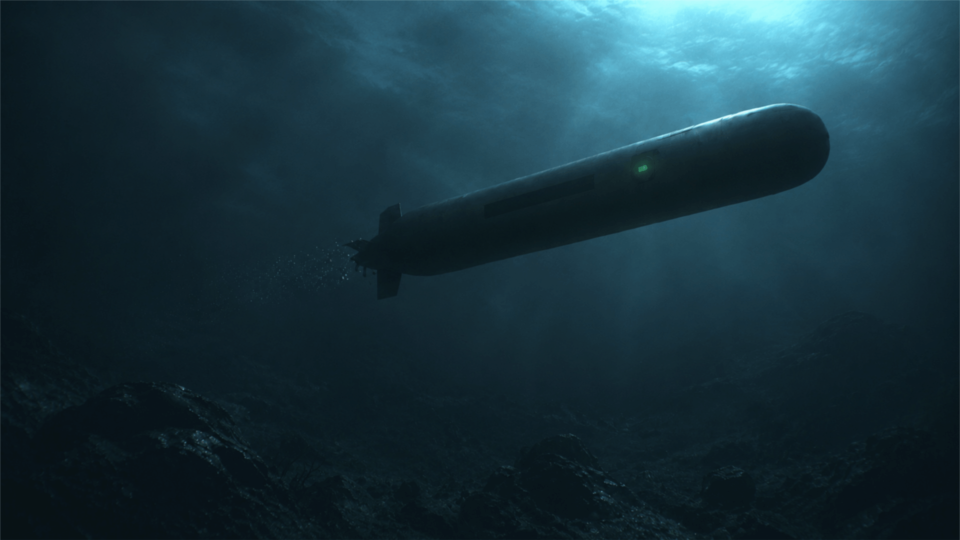
Consider a tactical scenario: an autonomous USV enters a narrow inlet on a high-stakes survey or surveillance mission. Running silently, its position is locked via global navigation satellite systems (GNSS). The surface operation proceeds as planned—until the environment turns hostile.
A directional electronic warfare attack begins. A sophisticated spoofing array injects a high-amplitude, counterfeit signal into the USV’s receiver. Slowly, imperceptibly, the primary navigation solution drifts away from the true course, forcing the vessel off-track into physical danger or operational failure.
To survive and accomplish the mission, an uncrewed platform can no longer rely on single-point satellite references. These are easily jammed and manipulated. Resilient operations require real-time physical verification from multi-sensor payloads capable of rejecting false data.
Fusing Navigation and Sonar
When satellite signals become untrusted physical references, payload sensor integrity is the only safeguard. By integrating acoustic and visual telemetry, the onboard command system can continuously cross-check satellite input against physical reality:
- Inertial Acoustic Navigation: Sonardyne’s SPRINT-Nav platform combines an inertial navigation system (INS), Doppler Velocity Log (DVL), pressure sensor, and acoustic positioning into a single tightly coupled instrument. As the satellite signal is spoofed, SPRINT-Nav senses the true hydrodynamic motion and acceleration of the USV. It provides an accurate alternative to GNSS data.
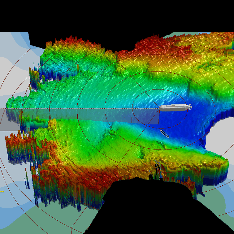
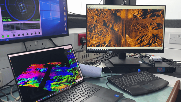
- Real-Time Seabed Verification: the Vigilant FLS provides a 3D imaging picture of the seabed and subsurface environment in real time. A real-time chart that can be used to navigate even in unchartered environments.
One Picture. One Truth. Real-Time Command.
When the satellite network fails or deceives, integrated acoustic and visual payload solutions ensure USV operators retain mission integrity, absolute situational awareness, and total command of the tactical battlespace.

Share On